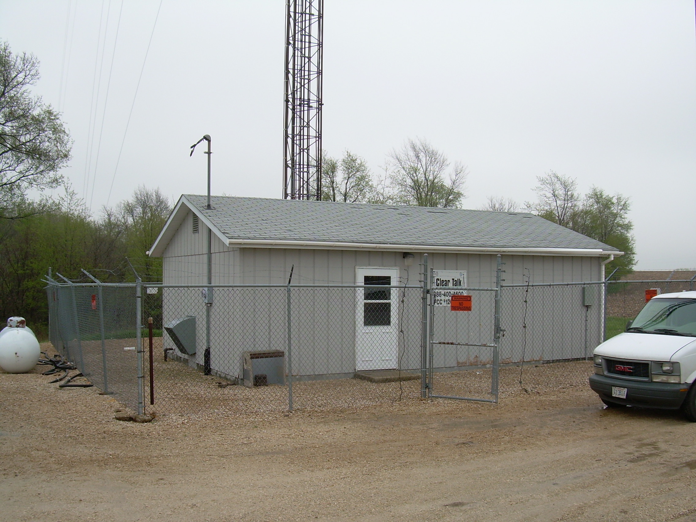
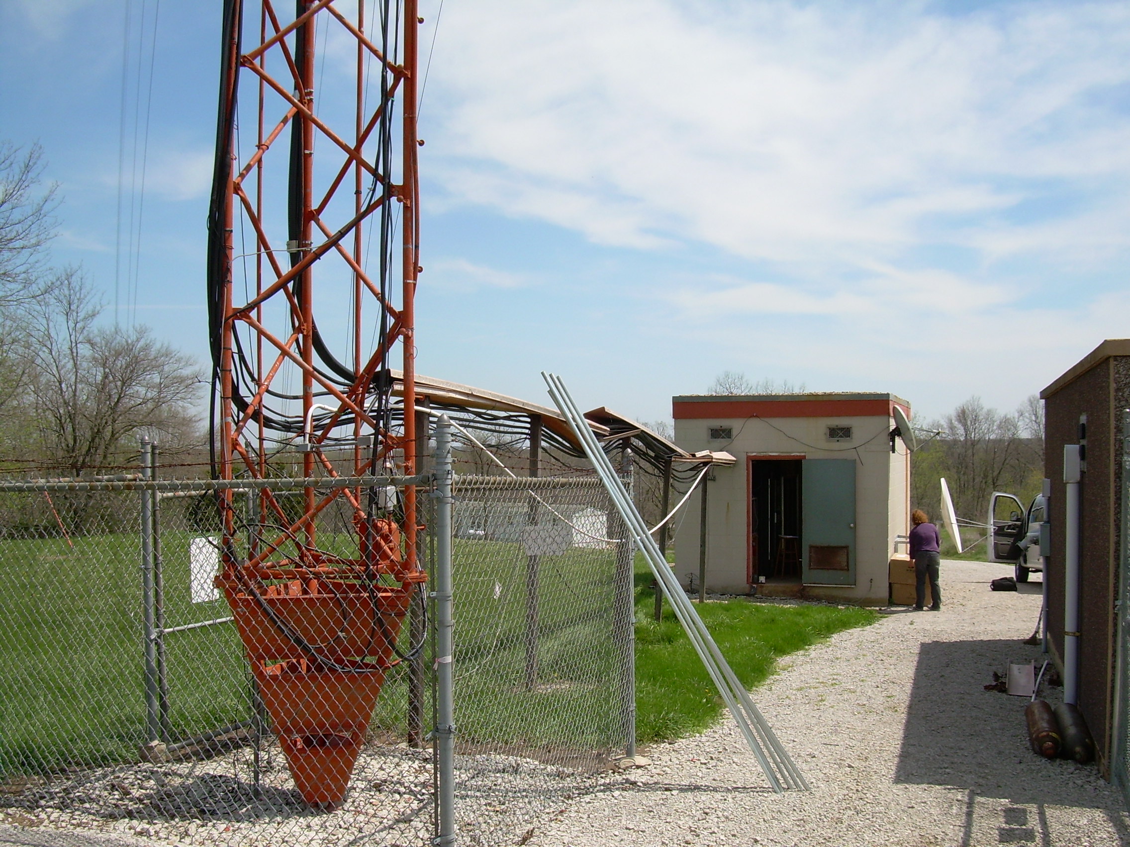
For West Branch rawinsonde data, click here.


DOWNLOAD RING 2 DATA

Welcome to the data download section. This section allows you to download data from individual or multiple Ring 2 sites.

Please Note:

Use of this section and of these data must be in accordance to the terms and conditions listed in the Fair Use policy.  If you have any questions about use of these data or the Fair Use policy, please contact a member of the group at co2@meteo.psu.edu.


Updated as of February 2014:  MCI Ring 2 CO2 concentration data is now available from the Oak Ridge National Laboratory DAAC. 

Miles, N.L., S.J. Richardson, K.J. Davis, A.E. Andrews, T.J. Griffis, V. Bandaru, and K.P. Hosman. 2013. NACP MCI: Tower Atmospheric CO2 Concentrations, Upper Midwest Region, USA, 2007-2009. Data set. Available on-line [http://daac.ornl.gov] from Oak Ridge National Laboratory Distributed Active Archive Center, Oak Ridge, Tennessee, USA. http://dx.doi.org/10.3334/ORNLDAAC/1202. 


Centerville, Iowa

Latitude: 40.7919 N
Longitude: 92.8775 W
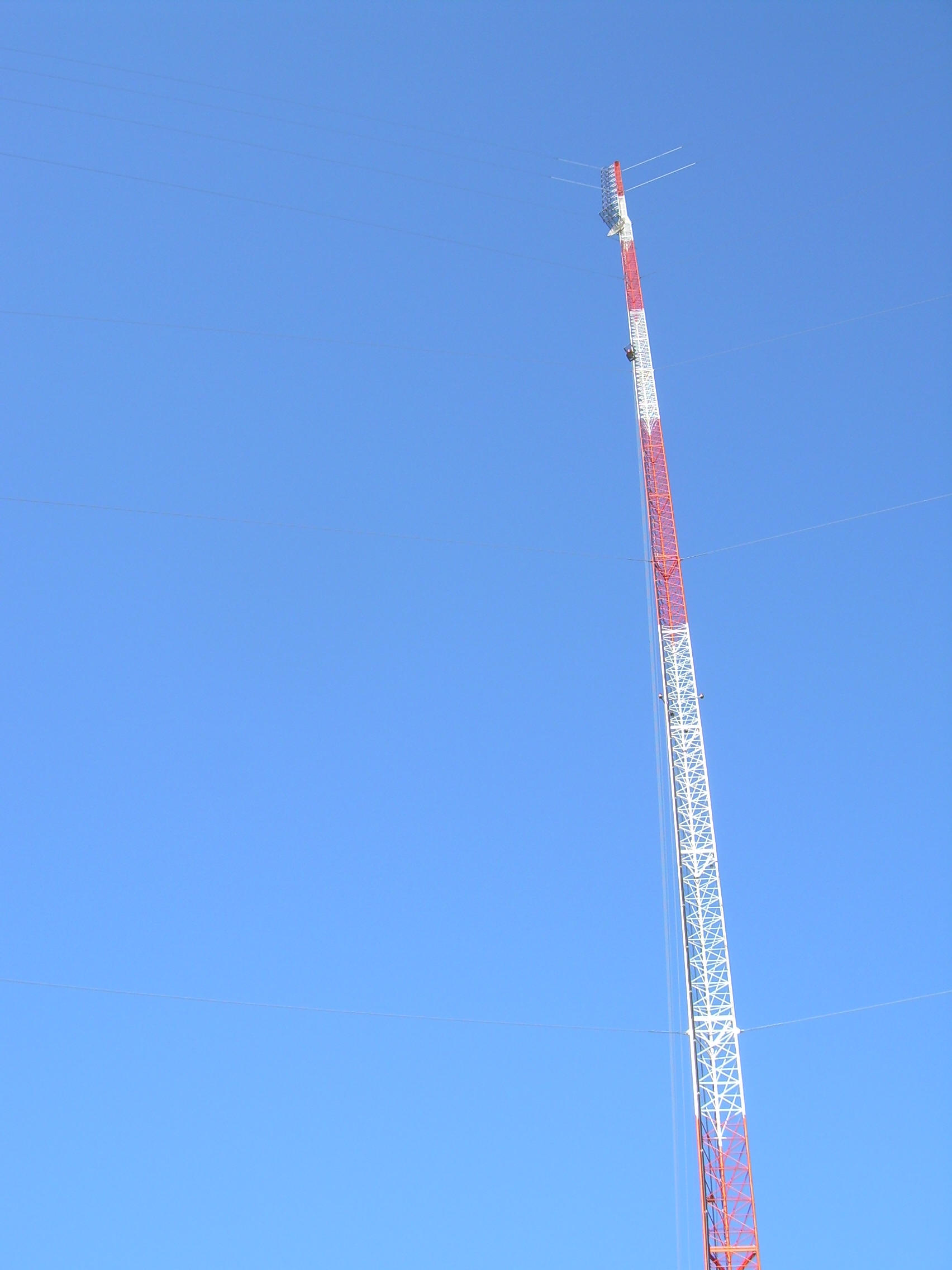
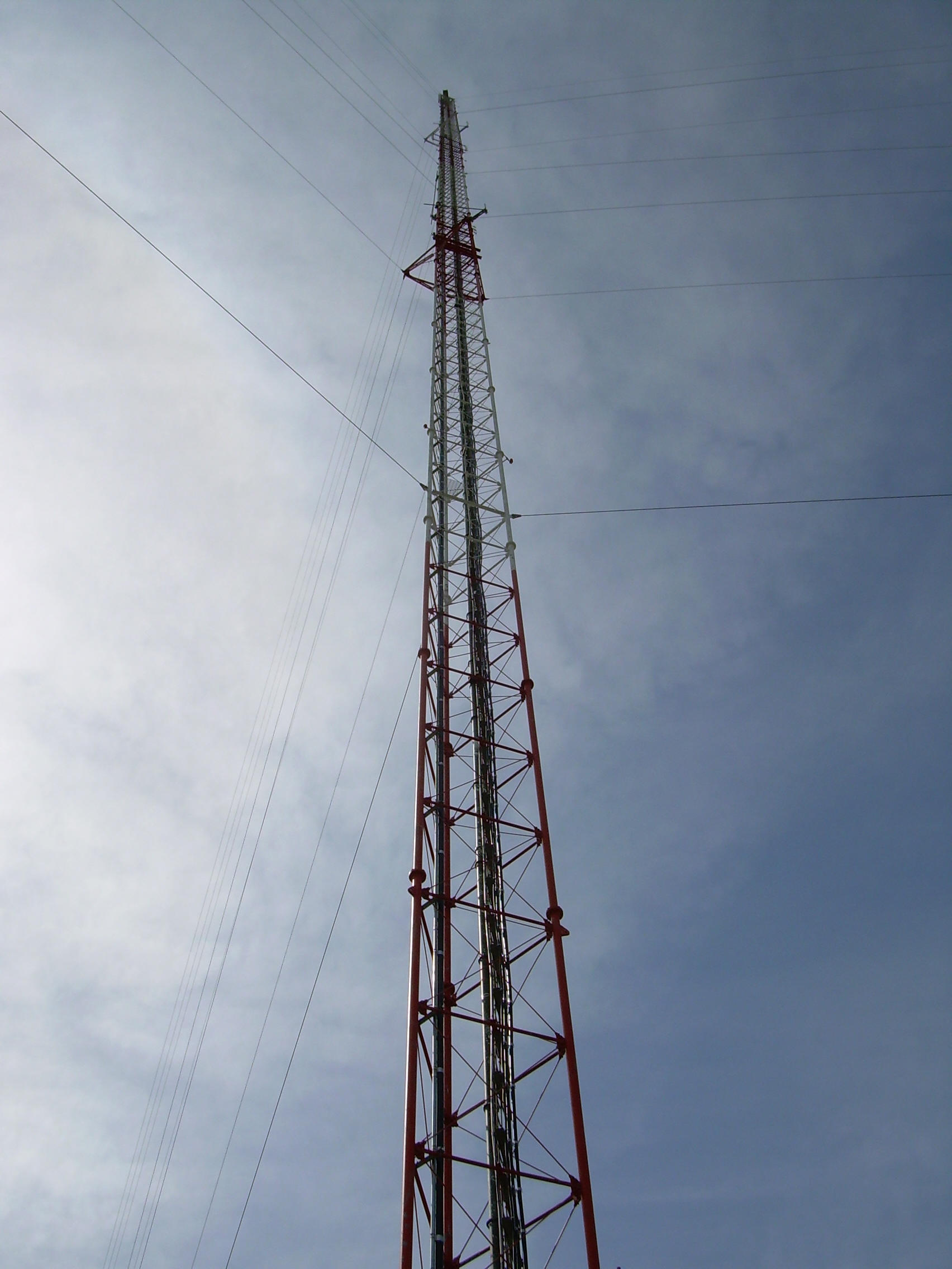
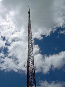
Sampling Height: 30/110 m AGL             
Elevation: 286 m above MSL
Instrument Type:               CRDS CADS06 (Picarro, Inc.)

Install Date:                       Apr 27, 2007
 

Downloads


Level 1: hourly            Level 1: daily daytime average

Level 2: hourly            Level 2: daily daytime average
               
Readme


Kewanee, Illinois

Latitude: 41.2762 N
Longitude: 89.9724 W
Sampling Height: 30/140 m AGL             
Elevation: 247 m above MSL

Instrument Type:               CRDS CADS05 (Picarro, Inc.)

Install Date:                       Apr 26, 2007


Downloads


Readme

Round Lake, Minnesota

Latitude: 43.5263 N
Longitude: 95.4137 W
Sampling Height: 30/110 m AGL             
Elevation: 469 m above MSL


Instrument Type:          CRDS CADS01/CADS03 (Picarro, Inc.)

Install Date:                  May 1, 2007


Downloads

Readme


Mead, Nebraska

Latitude: 41.1386 N
Longitude: 96.4559 W
Sampling Height: 30/122 m AGL             
Elevation: 358 m above MSL
Link to Ameriflux tower data (University of Nebraska, Lincoln)             
Instrument Type:          CRDS CADS01/CADS07 (Picarro, Inc.)

Install Date:                  Apr 30, 2007


Downloads


Level 1: hourly            Level 1: daily daytime average

Level 2: hourly            Level 2: daily daytime average

Readme


Galesville, Wisconsin

Latitude: 44.0910 N
Longitude: 91.3382 W
Sampling Height: 30/122 m AGL              
Elevation: 251 m above MSL
Instrument Type:          CRDS CADS08 (Picarro, Inc.)

Install Date:                   June 29, 2007


Downloads

Readme


Rosemount, Minnesota (PI: T.J. Griffis at University of Minnesota)

Latitude: 44.6886 N
Longitude: 93.0728 W
Sampling Height:  100/200 m AGL               Elevation: 290 m above MSL
Instrument Type:          Tunable diode laser  (TGA100, Campbell Scientific Inc.)

Install Date:                   June 1, 2007


Downloads


*In addition to the Ring 2 sites, Penn State also collects well-calibrated CO2 measurements in support of AmeriFlux.  The Penn State Ameriflux sites are part of what is intended to be a long-term network.  One of these sites, Missouri Ozarks, is location in the RING2 region.  For more information and to download data from these sites, click on the hyperlink above.